Geospatial Services That Move Projects Forward
From infrastructure planning to emergency response, accurate geospatial data is essential to making informed decisions. Our geospatial services combine advanced technologies with deep expertise to deliver high-resolution, actionable intelligence—indoors and out.
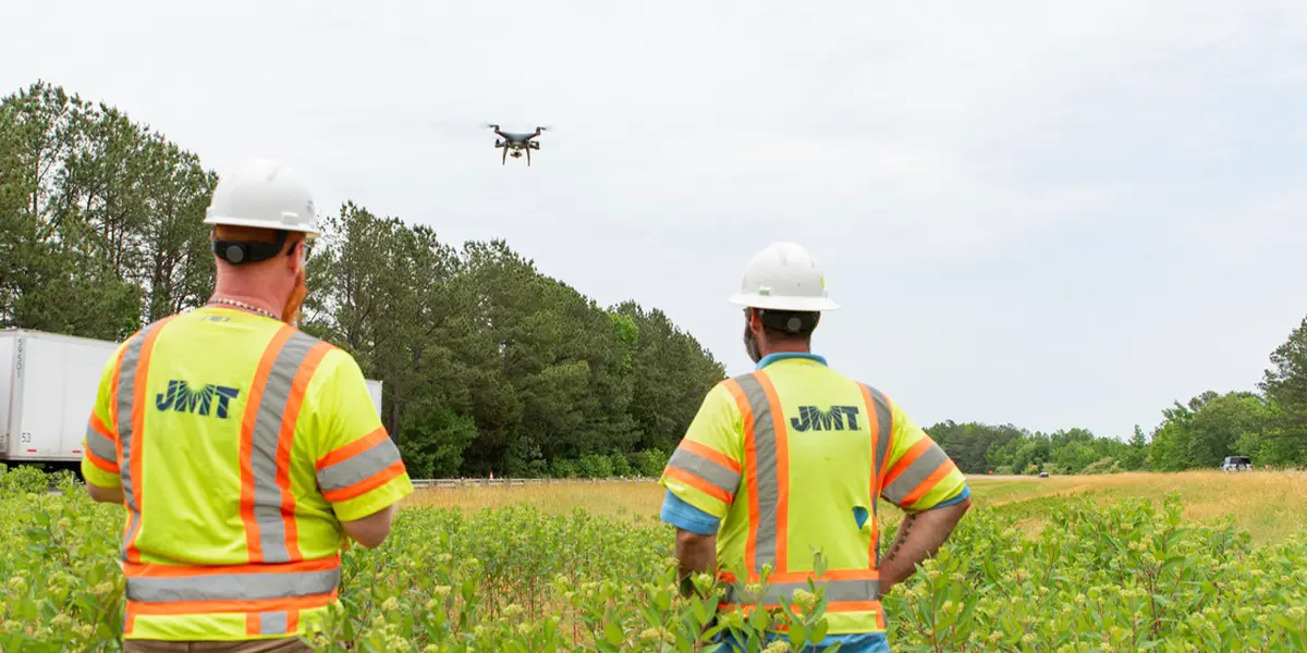
We offer full-spectrum GIS solutions that integrate spatial data into your workflows, helping you visualize, analyze, and manage assets with confidence. Our drone and Unmanned Aircraft Systems (UAS) program provides high-resolution aerial imagery, 3D modeling, and orthophotography for everything from construction progress tracking to environmental monitoring. With LiDAR and photogrammetry, we capture detailed terrain and structural data to support design, inspection, and compliance.
Our indoor mapping capabilities bring the same level of precision inside, using LiDAR scanning, CAD/GIS integration, and mobile data collection to create accurate floor plans and digital twins of complex facilities. Whether you’re mapping a school, a terminal, or a utility corridor, we deliver the data you need to plan, protect, and perform.
From the ground to the cloud, we help you see the full picture.
Ready to map what matters?
Let’s talk about your next geospatial challenge.
Technology and Innovation Areas of Focus
Connect With Us